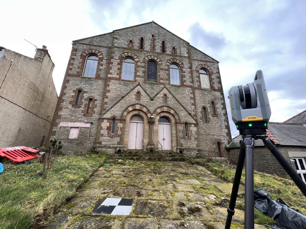
Topographic & Measured Building Survey of a Chapel in Alston - Cumbria
St Paul’s Methodist Chapel
Alston - Cumbria
St Paul’s Methodist chapel was built around 1868 and sits at the top end of town in Alston, set back slightly from where the A689 forks left, away from the B6277. It ceased functioning for worship at the end of the last century, was sold by the United Reform Church at the beginning of this century and has remained vacant since.
The new owner has some fantastic plans for the property and with the help of our survey drawings, the Architects are producing some amazing designs for the adaptation & refurbishment of the building.
Topographic Survey
-
The topographic survey for this project was carried out using a Trimble total station and fixed to OS grid using GNSS, this was needed to determine the levels surrounding the chapel for planning permission.
Building Elevations
-
Elevations of this property were needed for the clients architect to design new interior spaces to the property. The Building Elevations were first laser scanned using a Trimble X7 laser scanner to collect the point-cloud data, once processed, ortho-images were extracted and then fully drawn in Autocad.
2D Floor Plans/ Sections
-
After laser scanning all of the externals & internals of the property, as mentioned in the Building Elevations section, we then produced a full Measured Survey using more ortho-images by taking multiple sections through the property to get a building floor plan and section layout. All of this information was again drawn in Auto cad and sent to the client as a full package in Auto cad & PDF format.
Got a similar project on a Historic Building? We can provide a full package of survey information at a competitive price. Have a look at Our Services for more information and Get In Touch.


