Our Services:
Home > Our Services
✔️ Healthcare
✔️ High Street Retail
✔️ Residential
✔️ Renewable Energy
✔️ Local Authority
✔️ Construction
✔️ Student Accommodation
✔️Historic Buildings
✔️ Industrial
✔️ Office & Workspace
✔️ Education
✔️ Supermarkets
We provide a range of Land & Measured Building Surveying Services across a range of sectors.
-

Topographic Surveys
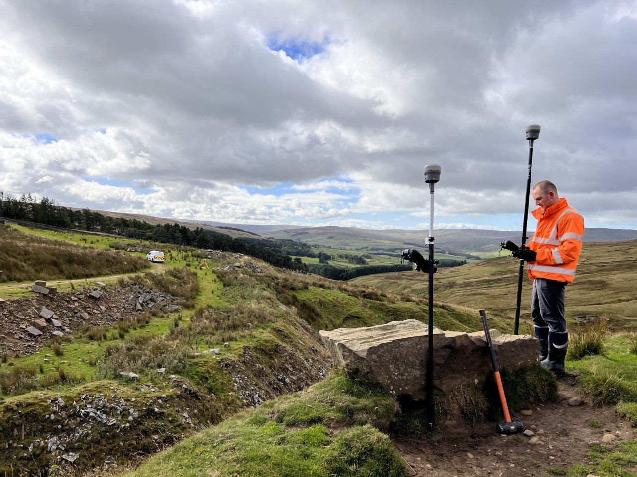
Topographic Surveys are vitally important and one of the first requirements for any construction, development and planning project.
-
Measured Building Surveys
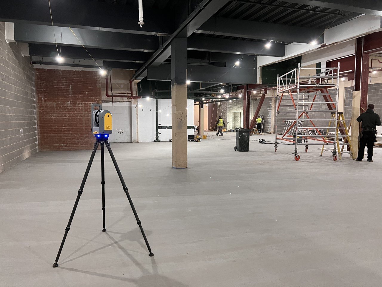
Measured building surveys are an integral part of the initial stages of a building project and crucial in the design phase of a project.
-

3D Laser Scanning
With the introduction of BIM to the industry 3D laser scanning is an integral part of the initial phase of the BIM cycle, offering highly accurate, data rich point clouds.
-

Setting Out
We can assist with any setting out your project may require, this could be setting out locations of monitoring wells/ boreholes and trial pits to staking out information on site for housing, roads and sewers and other civils projects.
-

Underground Utility Surveys
An underground utility survey is an important first step in most project’s as it can help identify any hidden assets and potential dangers before ground is broken, our surveyors use a range of methods to locate and map buried utilities which are then shown on plans to aid the progress of your project.
-

Volumetric Surveys
Whether you have a topsoil strip coming up to needing some material stockpile’s measuring in a quarry or on-site we can help with that! using either Total Stations, GPS or Drones’ we can accurately measure & map areas to calculate volumes for any materials you need assistance with!
-

3D Modeling & BIM
3D laser scanning is an integral part of the initial phase of BIM with 3D modelling being the next phase in the cycle using the point cloud data to create accurate and detailed 3D models for uses in sectors such as architecture, civil engineering & construction.
-

Drone Surveys
Using drones in surveying is an effective way to map the site below safely & efficiently, they are controlled remotely and offer accurate data for terrain modelling.
-

Floor Flatness Surveys
Floor flatness surveys are an accurate representation of a floor area which is mapped using 3D Laser Scanning technology to produce detailed plans showing the flatness, levelness & any areas of abrasion and more.
-

Quarry & Mineral Surveys
Project North Geomatics uses the latest technology to carry out our Quarry & Mineral surveys to the highest of standards, our surveyors have many years of experience working in some of the largest quarry and landfill sites in the UK which enables us to deliver detailed Topographic Survey plans to our clients. We can provide our services to help with stockpile volumetric survey calculations or full quarry updates using drones, 3d laser scanners and traditional survey equipment producing cost effective solutions across the UK.
Cant find what you’re looking for?
Contact us if you have special requirements or need a service not mentioned above such as;
Monitoring Surveys
Bathymetric Surveys
As-Built Site Surveys
Manhole/ Drainage Surveys
QA Surveys

